Survey and Modelling in Microstation
Survey and Modelling in Microstation

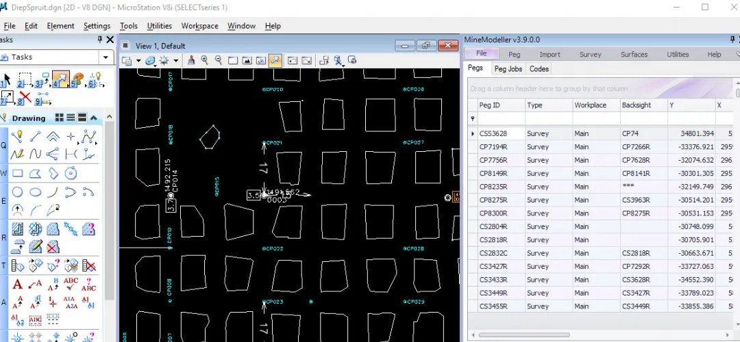
MineModeller is a complete underground and surface survey package hosted in the familiar Microstation environment.
Don’t have Microstation? See SurveyXL.Net
MineModeller stores its pegs registry securely in an Oracle, SqlServer or for standalone situations SqlLite database.
MineModeller allows importing data from Modelmaker, GemCom Surpac, Datamine and all text formats.
In addition MineModeller can synchronise spatial data with Oracle or Sql Server databases.
MineModeller provides key functionality for underground survey including
- Double Button button and Double setup peg calculations
- Traverse calculations with Bowditch correction
- Offsetting
- Contouring
- Measuring reports
- Peg plotting
- Automatic over and under mining calculations
- Automatic pillar creation
- Gyro calibration and calculations
For surface operations MineModeller supports:
- Surface building with breaklines
- Contouring
- Cut and fill operations
- Triangle flipping and surface editing
MineModeller can import data from various total stations using the Instrument Interface program that come with MineModeller.
We support TopCon, Leica, Sokkia and all the main brands.